Mt. Adams South Climb Trip Report: 6/23/2023
Mt. Adams South Climb Route: One day climb, June 23, 2023
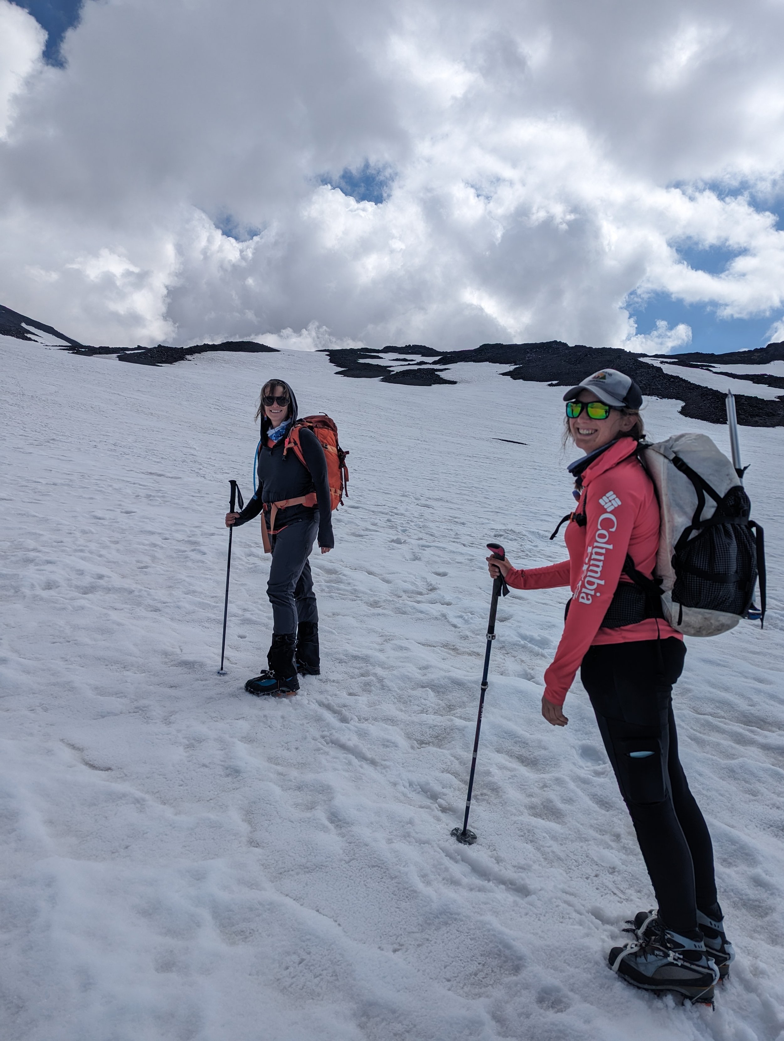
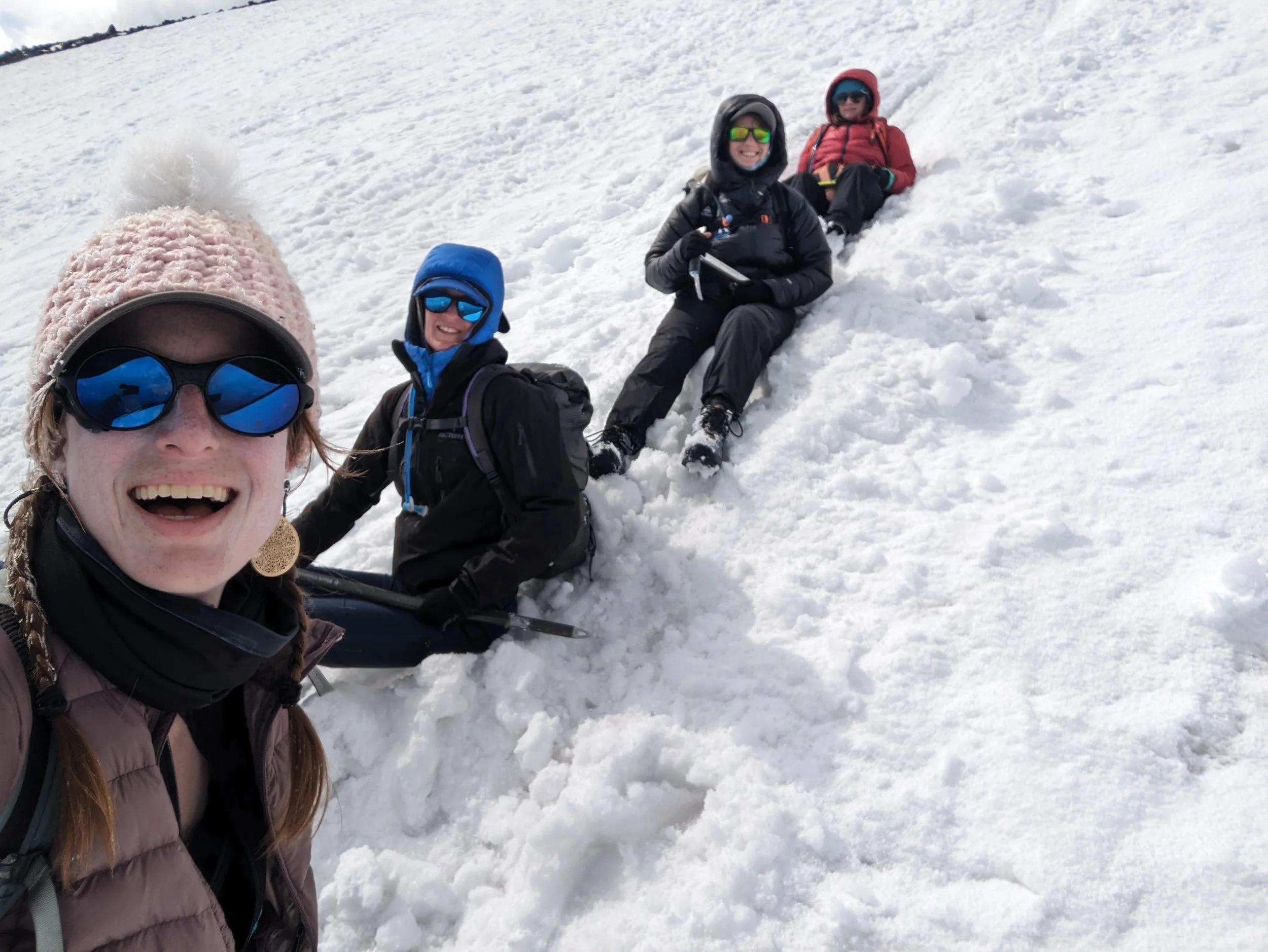
Another lovely day up the neighborhood mountain! This was a special one, since I got to meet my faraway friend’s friend from North Carolina. Amanda’s been guiding on Baker lately so was in the area and wanted to see more. Katie and Hannah from our 2023 Mount St. Helens climb also joined. Four lava ladies!
Here’s what went down:
Cold Springs Beta:
Early Friday morning, there was somehow plenty of space to park, and we got a prime spot!
By Friday evening, it was more crowded, but there was still space. It seemed a lot of folks were going to climb on Saturday.
Tons of unused wag bags available at the trailhead.
No toilet paper in the pit toilets.
The Ascent:
We left later in the morning than most parties, and barely saw anyone until the upper mountain.
There's a lot of fallen wood in the first 1-2 miles right now; looks like crews haven't sawed logs since winter storms. Just an FYI that you'll have to step over logs, which I'm notoriously not great at.

The dang logs ;)
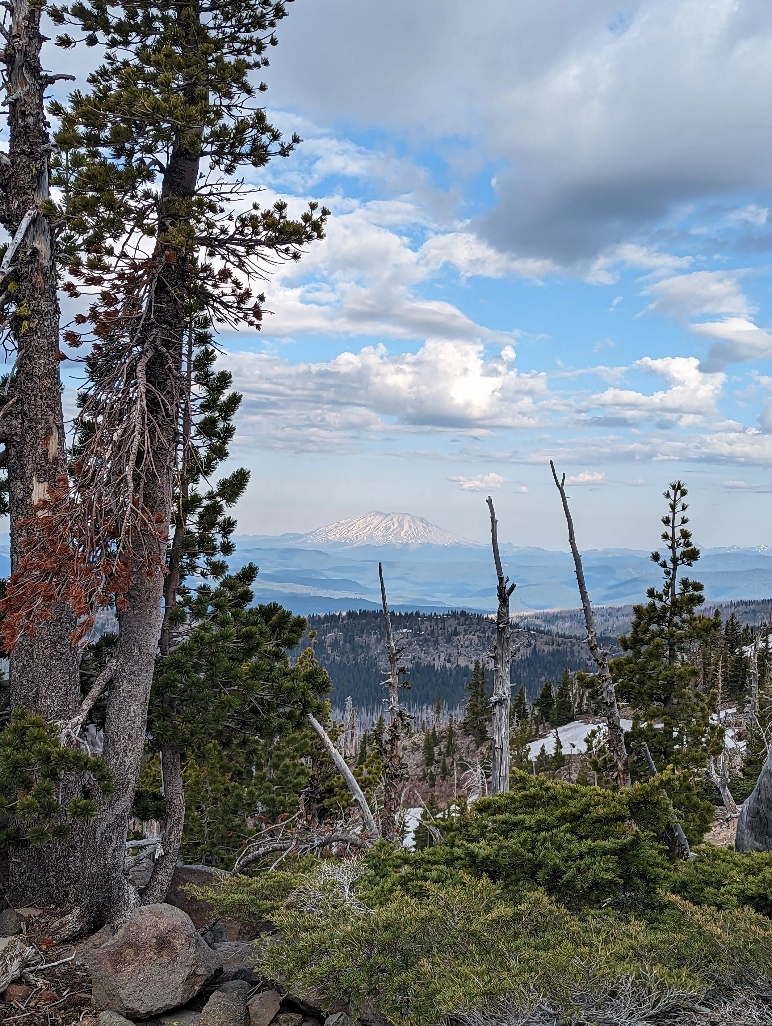
Weather was nice in the beginning… Nice view of Helens!
Intermittent, easy snow patches for the first ~1.5 miles, after which it started to become more consistent.
We chose the west ("summer") route option, which it seemed most people did.
We went up that rock ridge just a bit beyond the Round The Mountain trail junction. This is always my least favorite part of the climb! It was fine, just annoying, for the ascent, but I'm glad I got to glissade below it on the way back.
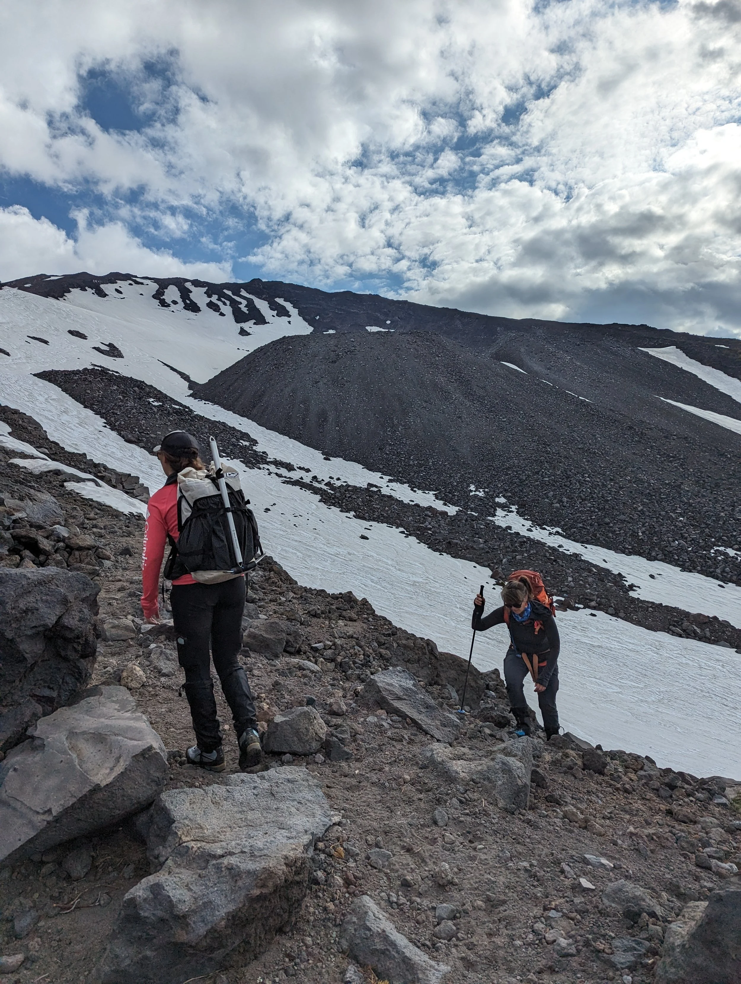
Onto the rocks!
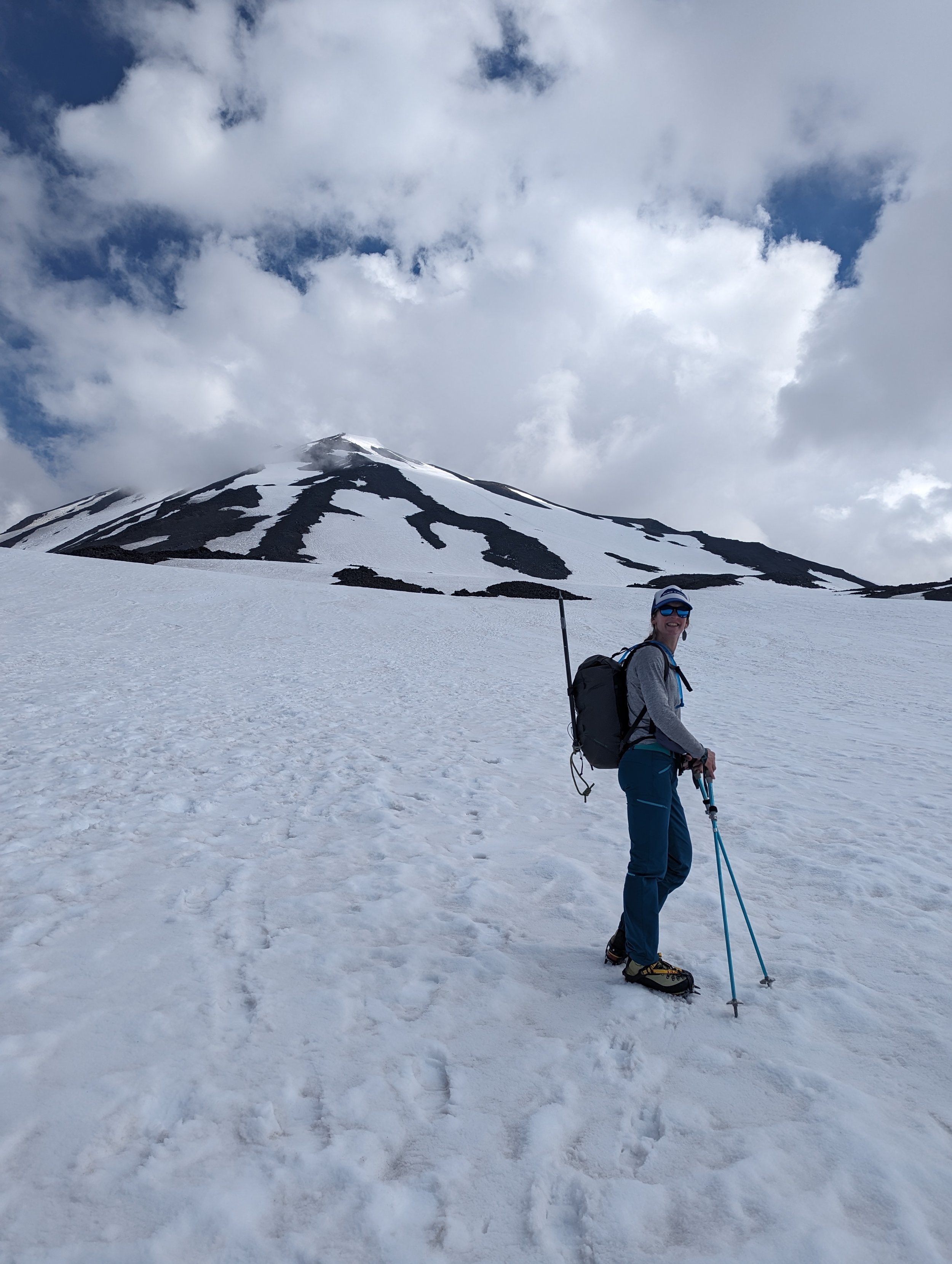
Around 8,000', we moved from rock to snow for the rest of the way. It looked like from there to Lunch Counter, you could opt for either rock or snow if you wanted. But snow!!!
We put our crampons on at a break at ~8,400'. It helped with traction. According to the weather forecast (which I could update with cell service), freezing level was 10,000', but the snow still felt not icy there.
Passed Lunch Counter, then from there, the usual slog!
Clouds rolled in from the west once we left Lunch Counter, and there were periods of very low visibility. It never felt unsafe, but we committed to keep checking in. I refreshed the forecast through cell service a couple times, and it changed to "snow showers" for mid-afternoon. Some clouds (especially the rainy-looking ones) seemed to move around the mountain or dissipate while running into it, but it still wasn't great. The winds there were calm, though.
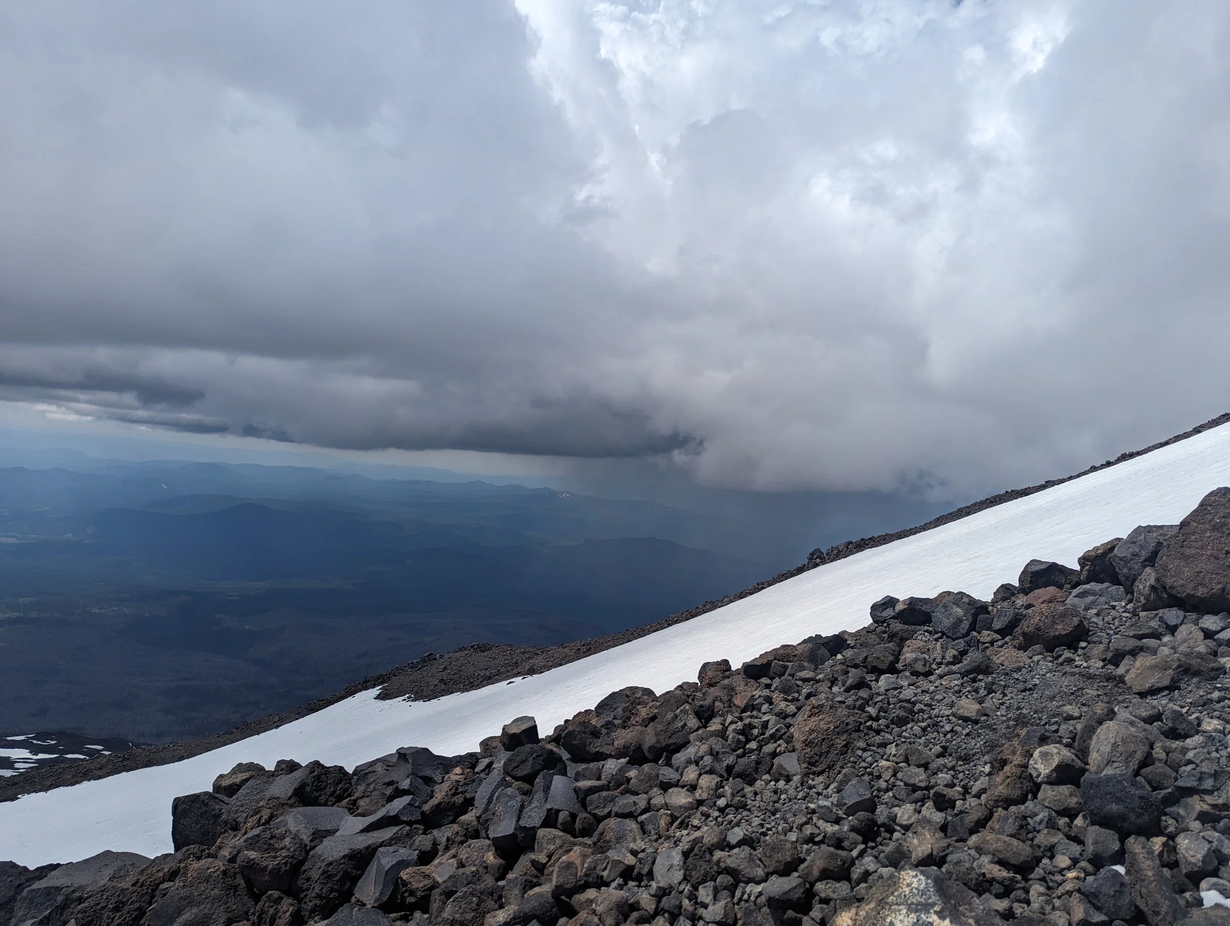
Iffy weather came and went.
Towards the top of the snowfield, the snow was ICKY; tons of dirty suncups and uneven footing. Walking was bad enough-- skiing would've been insufferable (and it looked so for the folks attempting their way down).

Imagine skiing that!!!
Once you reach Pikers, there's about 100 yards of dirt walking before getting back on continuous snow. Wind started picking up here, but still nothing too scary, weather-wise-- we just wanted to keep an eye on it. Plus, we were some of the last climbers ascending that day.
In the middle of the final push to the summit, we watched one single rock fall. Sure, that sounds silly, but it was quite fascinating-- it was perhaps the size of a basketball and fell silently through the snow, picking up speed for hundreds of feet before settling in a terrain trap. It certainly could've hurt someone badly, and you wouldn't have heard it coming.
Visibility continued to shut down in the final couple hundred feet. Light wind.

Gettin’ close.
The Summit:
We spent just 15 minutes at the summit, with no views! One perk was that nobody else was up there, which gave us a unique sense of solitude.

It was cold and wasn't clearing up, so we took a few photos and decided to get down quickly.
Just after leaving the summit, the graupel started.
The Descent:
Oof, that initial bit down from the summit to Pikers was rough. A storm was coming through right then, and although the winds weren't ferocious, they were enough to send a ton of sharp graupel into my face. My hair was frozen white, and we couldn't see more than a handful of yards away.
Thankfully, the boot path was fairly easy to identify, two of us were very familiar with the mountain, and we had a GPS track as well.
The GPX came in handy-- when we had very low visibility and hadn't yet gotten back to Pikers, we had to consult it to make sure we were headed the right direction in the ping pong ball. Had we continued where we were pointed, we would've accidentally started down the Southwest Chutes instead.

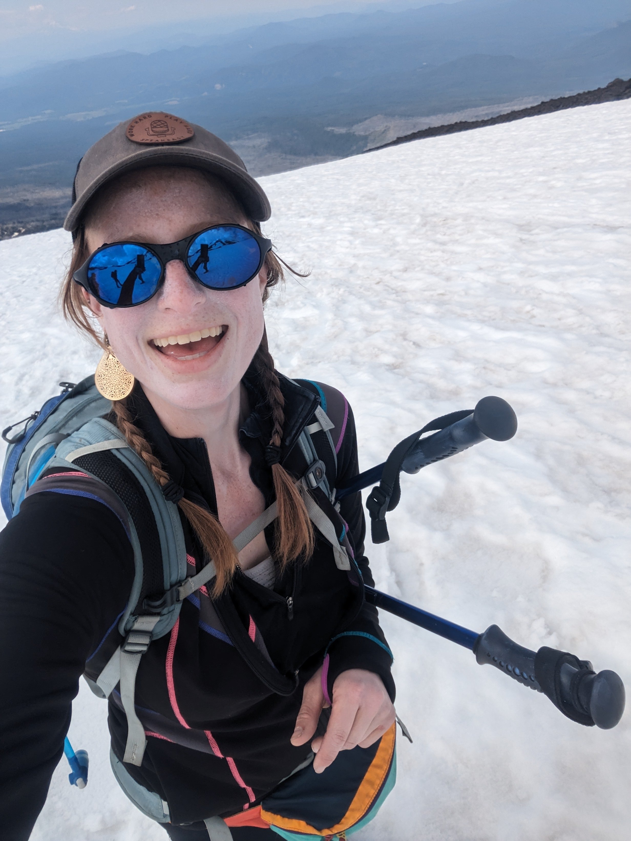
Once it felt safe enough to take out my camera.
Aaaand then I heard the thunder. Nothing like a June day on the volcano in a snowstorm AND thunder rolling.
There were a handful of thunder rolls moving from west to east. Thankfully, they weren't too close (and probably headed toward Goldendale area), but we still felt the time pressure to get down.
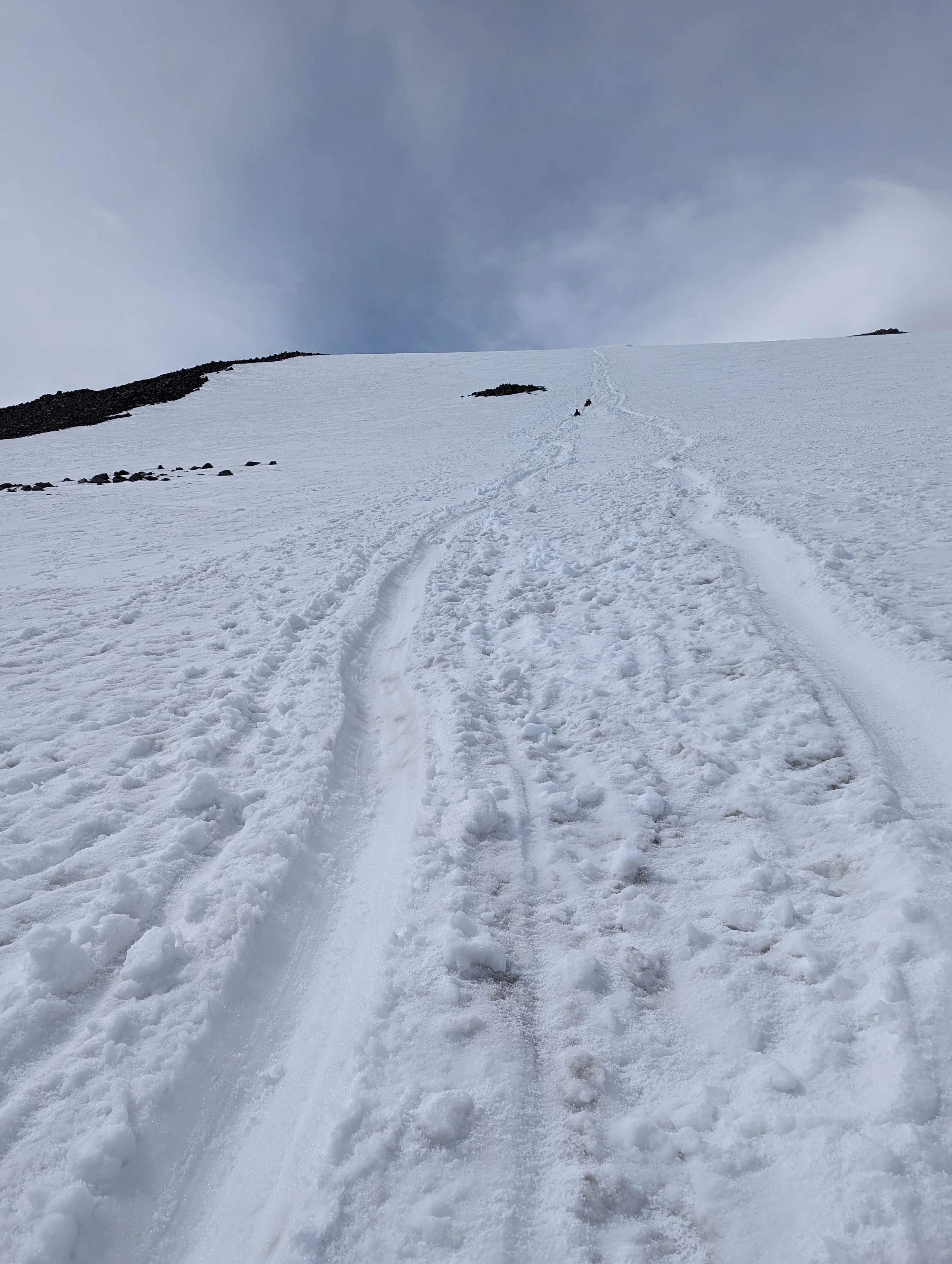
We debated glissading versus walking from the very top of the snowfield below Pikers, and decided to walk a few minutes so we wouldn't have to waste time taking off crampons and changing layers.
Once we got back to the icky snow cup area, the weather was quickly improving, and we decided to break and start glissading from there, about 11,080'. Good glissading from there to Lunch Counter, with a few more on and off opportunities below!
Smiles for improved weather and fun glissading!
Not the best-ever glissading, but some good and long chutes.
YAY for better weather on the descent. It was easy-going and warm, but be aware for deep postholes near the rocks.
We were treated to some marmot calls as we approached treeline!
Altogether, a ~12 hour casual day (other than the ill-timed weather).
Meet the cast: